Geographic Information Systems (GIS) and Spatial Analysis
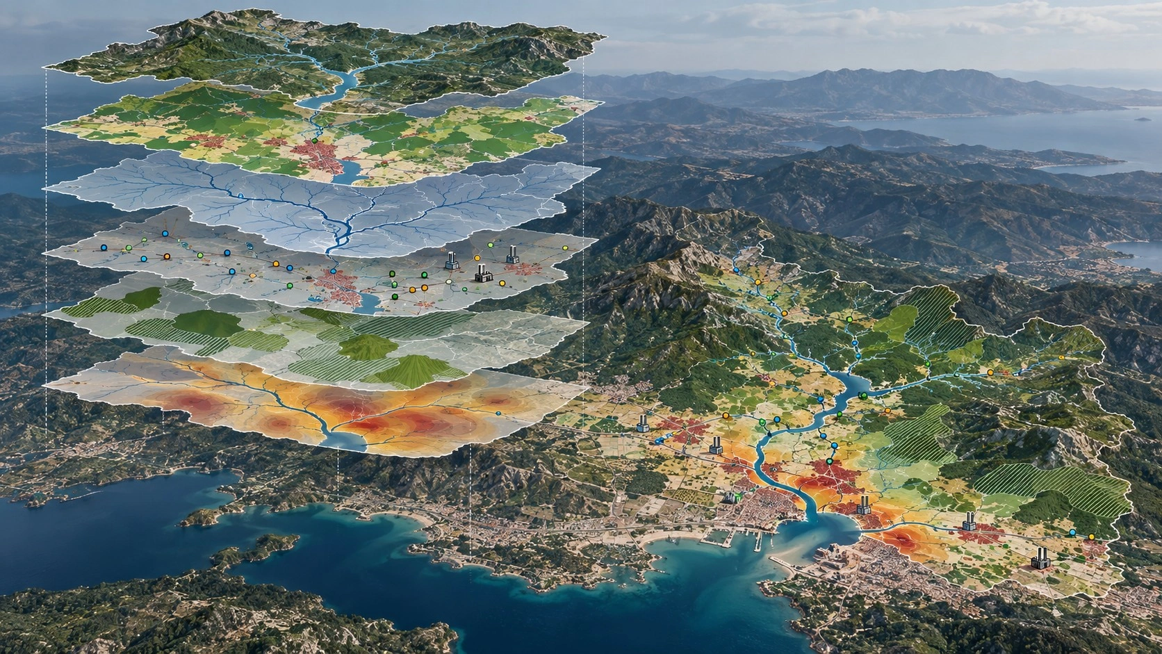
Integrated assessment and mapping of environmental and spatial data, and development of data infrastructures for use throughout project processes.
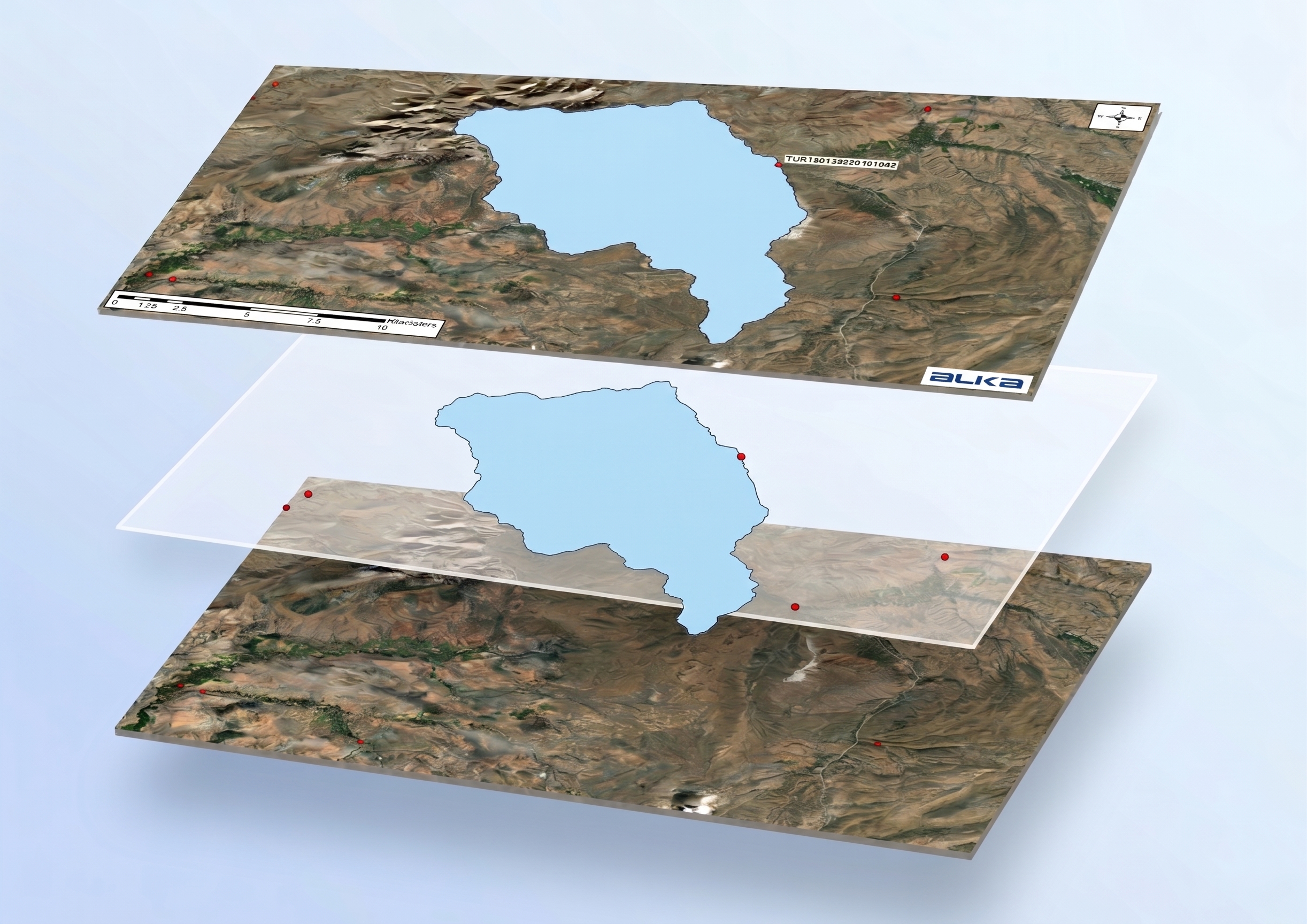
- Delineation of basin and sub-basin boundaries.
- Preparation of land use and environmental pressure maps.
- Spatial analysis of pollutant sources.
- Mapping of monitoring points and measurement results.
- Identification of environmental impact and risk zones.
- Assessment of sensitive buildings and protected areas.
- Mapping of biodiversity and habitat data.
- Assessment of modelling results in a GIS environment.
- Preparation of GIS databases tailored to project and institutional needs.